Maps are cool. Being able to read a map is even cooler.
We're lucky in the UK to have the Ordnance Survey making beautiful, useful maps. Compared with maps elsewhere, such as the yellow covered Michelin maps available in France, OS maps are elegant and easy to interpret. Having a local map can make a day out so much more interesting, and you have the added bonus of being able to use the map to actually help you find your way around.
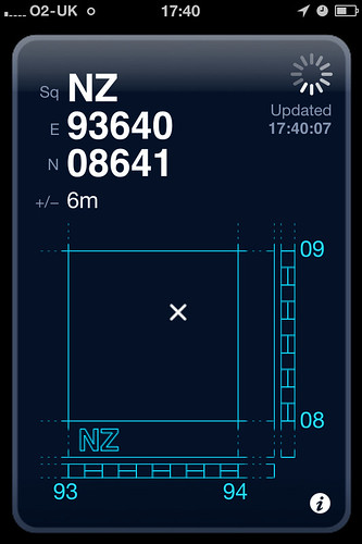
Being able to find places on a map, or tell someone else where a location is on a map requires you to understand and be able to use six figure grid referencing (link to pdf file). This isn't too tricky, and most of the time when you're outside you can use landmarks around you to work out where on the map you are and so get a grid reference. But when the weather's bad or it's dark or there aren't many useful landmarks it can be tricker. This is where GridPoint GB comes in.
GridPoint GB is a free app for the iPhone that takes GPS data and converts it into an OS grid reference. It's simple and easy to use. Yesterday we were walking on the coast between Whitby and Robin Hood's Bay, and I wanted to know where we were. I narrowed it down to two places a few hundred meters apart, and GridPoint GB confirmed which of the two spots we were at.
It's a good little app that simply does its job without trying to be too clever. Out and about with a map it's a useful extra tool to have in your pocket. Obviously, given that it uses OS data, it's only useful in the UK.
GridPoint GB (iTunes Store link)

No comments:
Post a Comment